

Rogue Valley Council of Governments
PROGRAM HISTORY
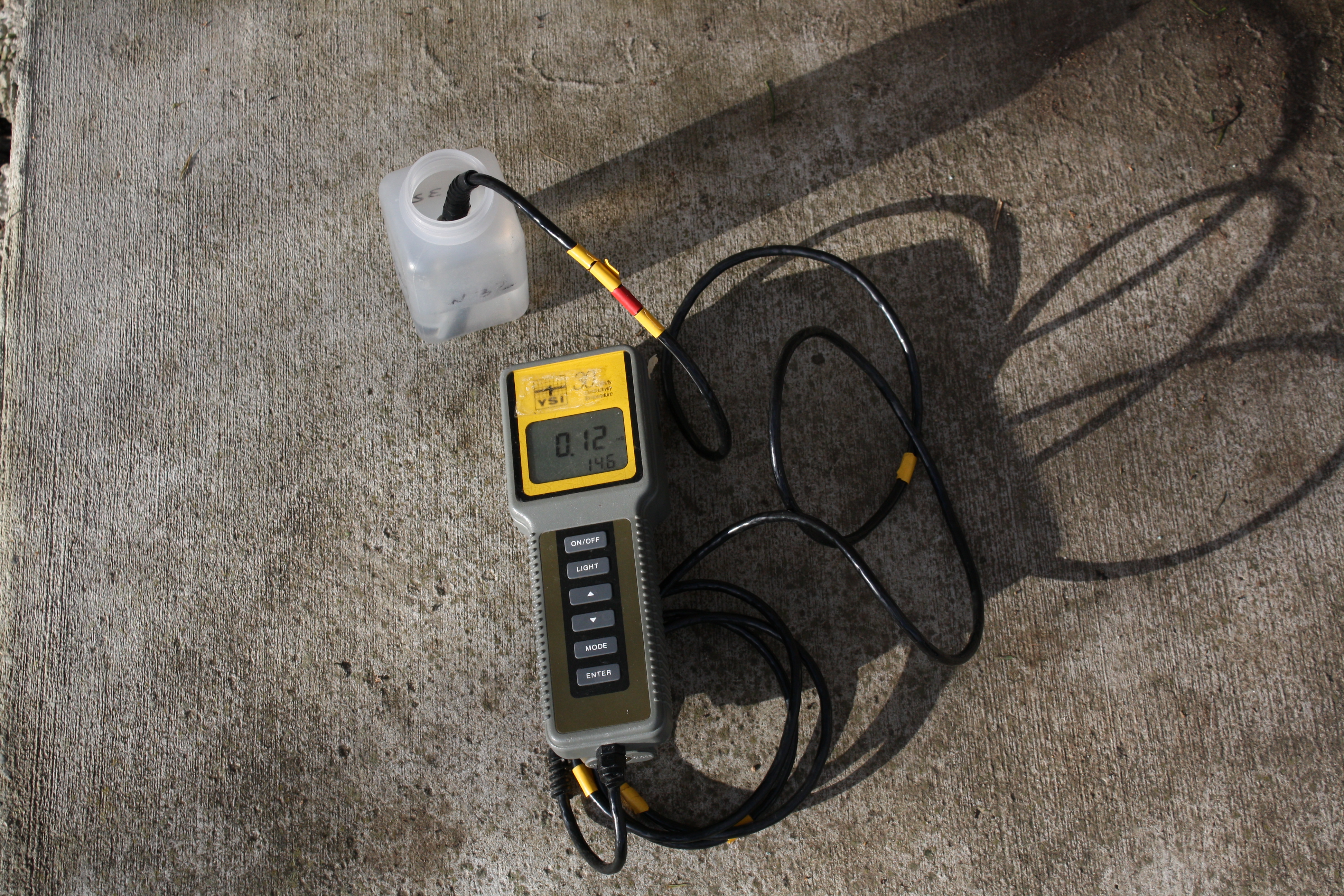
The Rogue Valley Council of Governments (RVCOG) has performed water quality sampling and analysis in the Bear Creek Watershed since the 1960s. The monitoring program was developed to help the cities of Central Point, Medford, Phoenix, Talent, Ashland, Jacksonville, and Jackson County identify what kinds of pollutants (if any) were causing a problem to local waters. In addition, Bear Creek was identified as a water quality limited stream leading to the development of the initial Total Maximum Daily Load (TMDL) determination in 1992 which identified pollutants and required Designated Management Agencies (DMAs) including local municipalities to implement programs under the Clean Water Act to help improve and protect water quality. Monitoring program are vital to identify pollutants, prioritize projects, and show long term improvements in water quality as programs are implemented and revised. The last major changes to the TMDL monitoring program were made in 2011 when the Rogue Basin TMDL was completed.
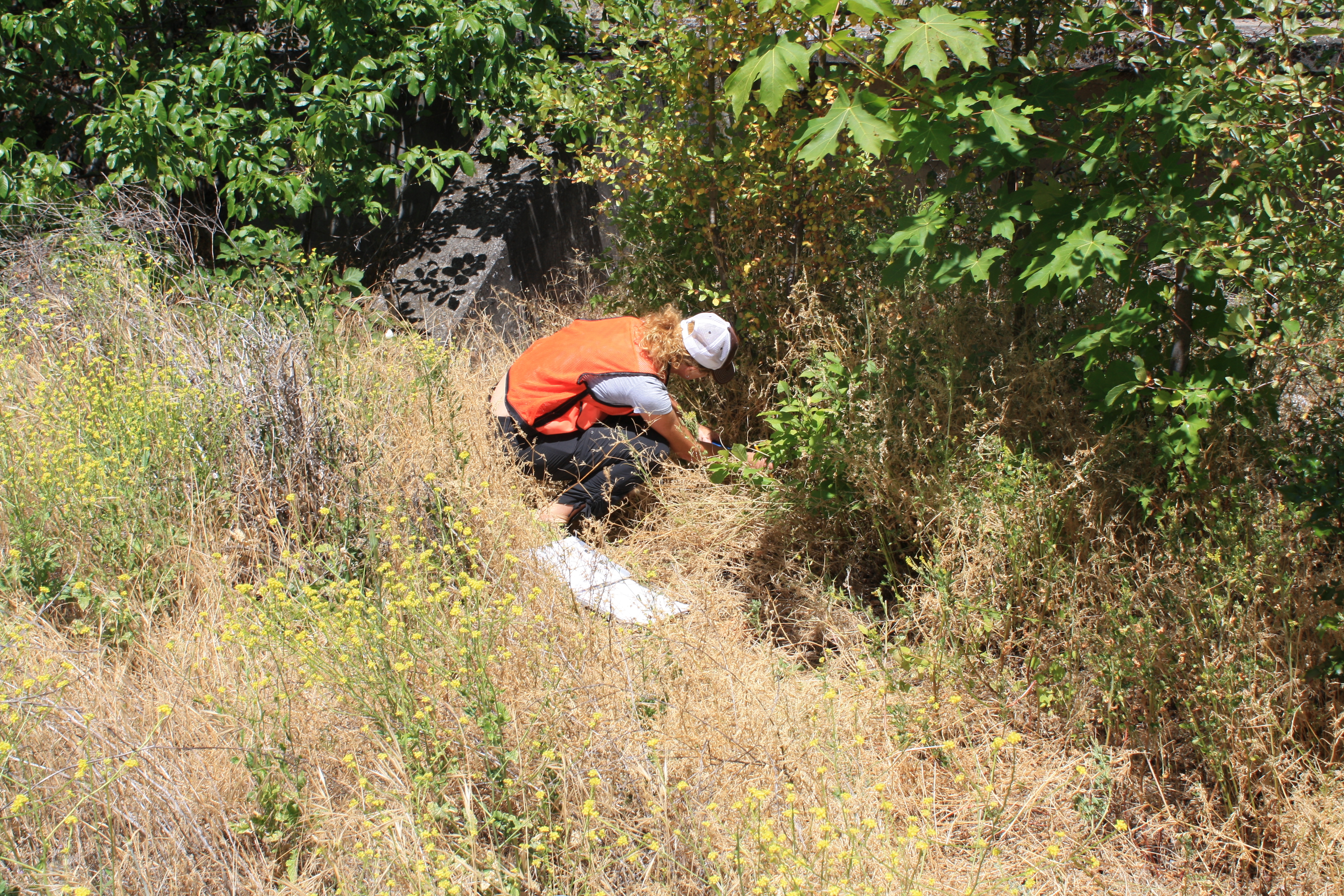
The experience and resources (e.g., materials, match funding) provided by the TMDL program monitoring allows for additional monitoring to be completed in the Watershed through partnerships and grants. Examples of recent monitoring efforts include the Almeda Post Fire Monitoring Program (2021-2023).