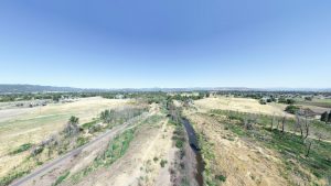
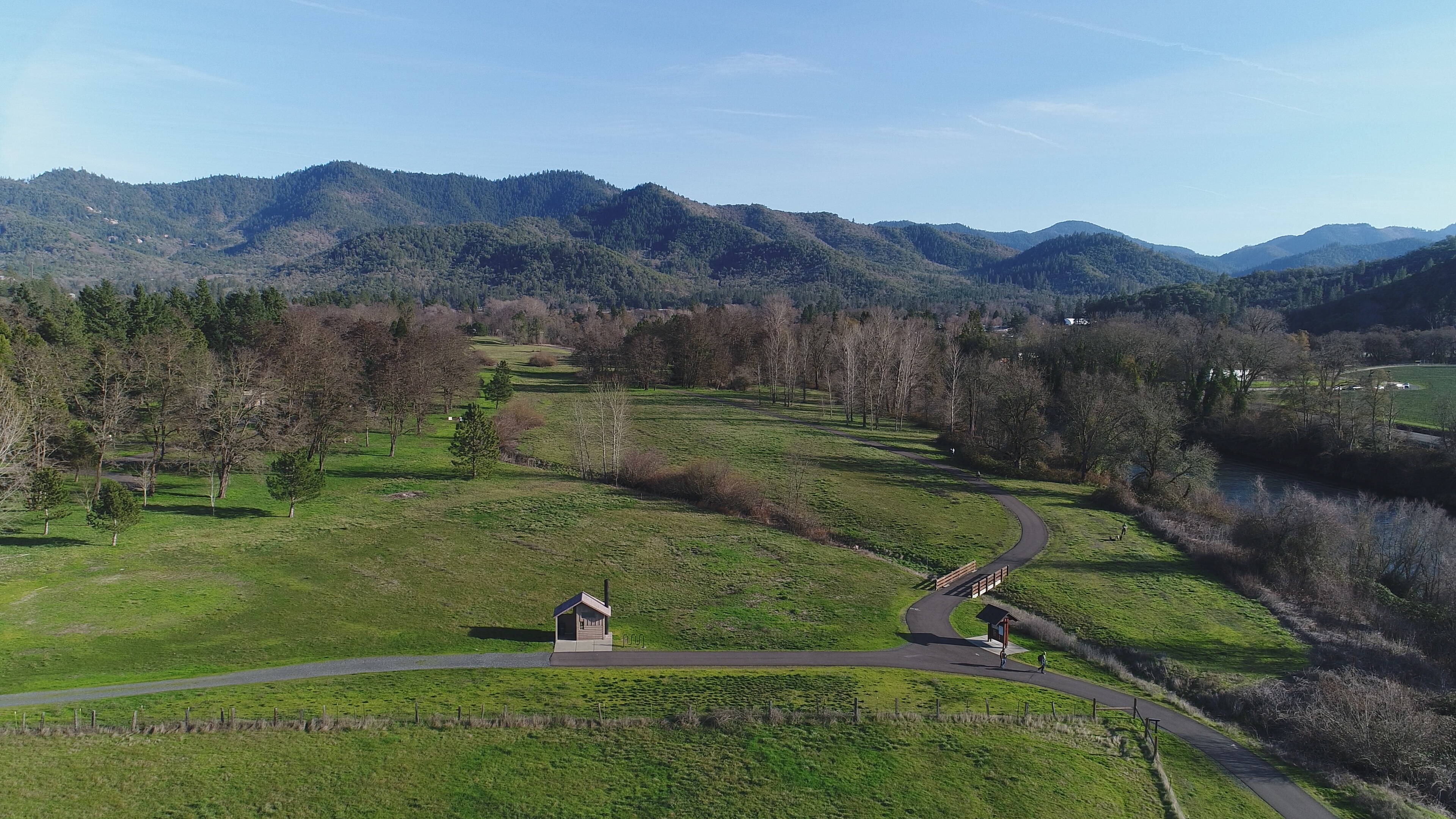
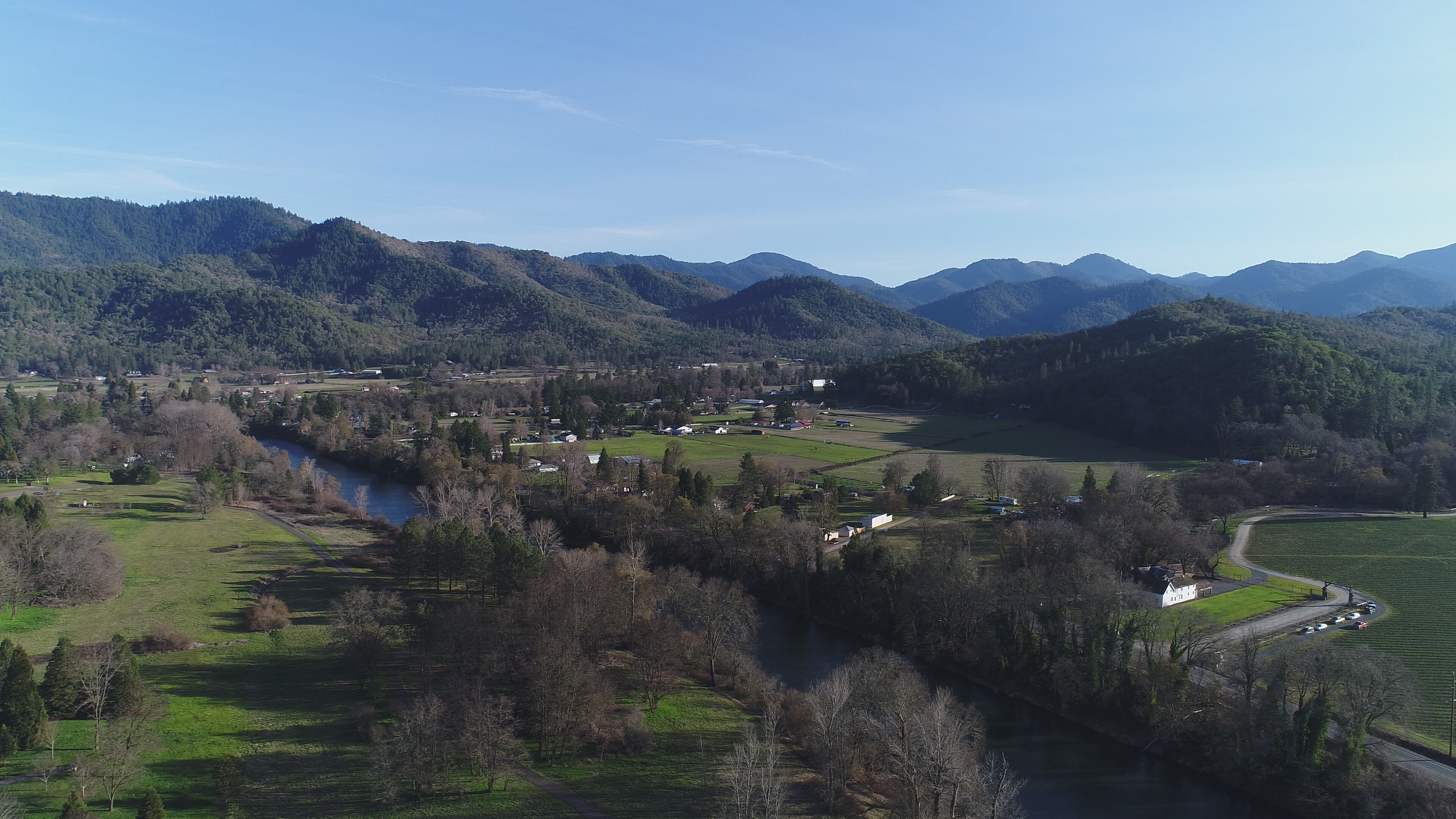
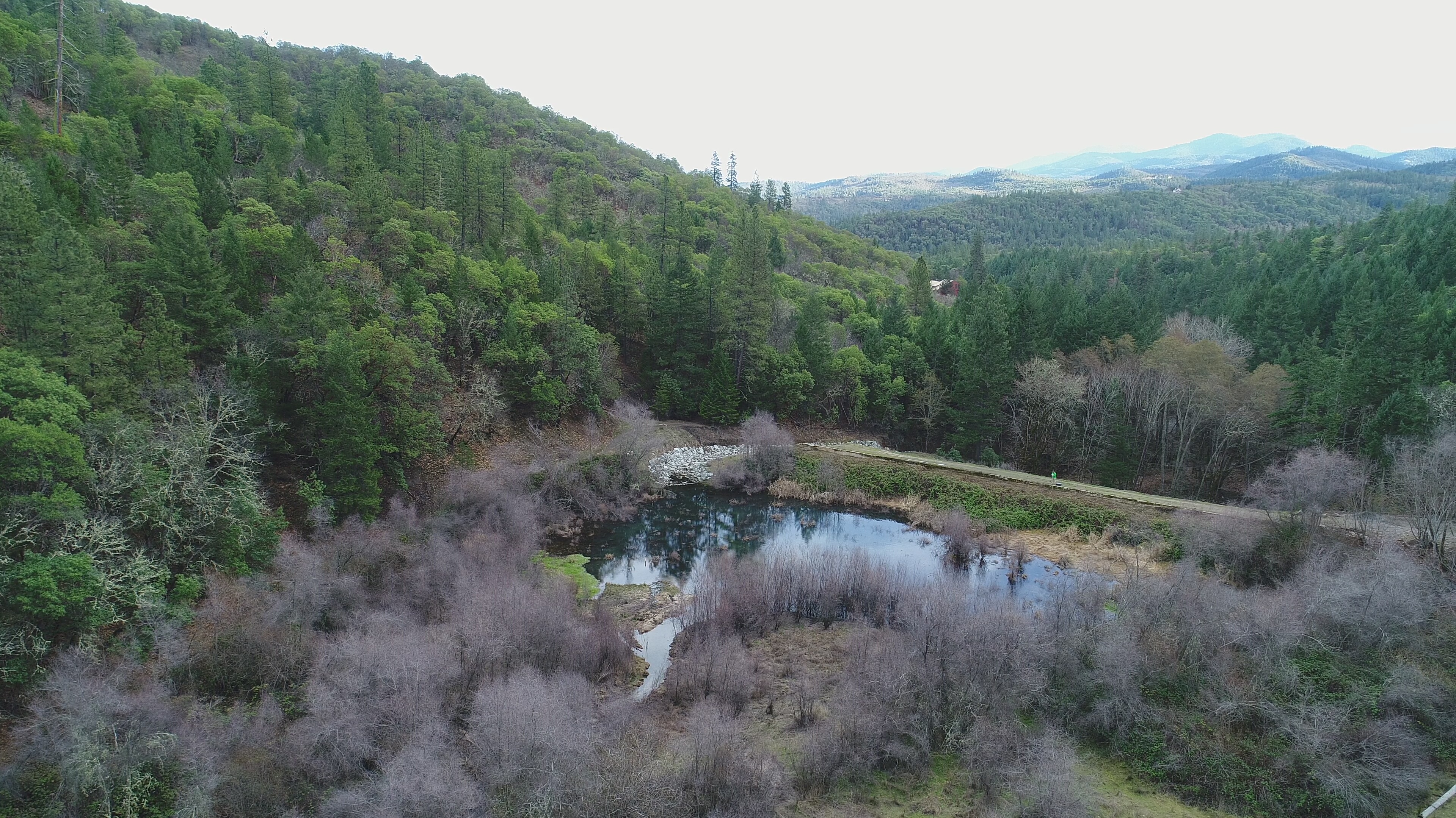
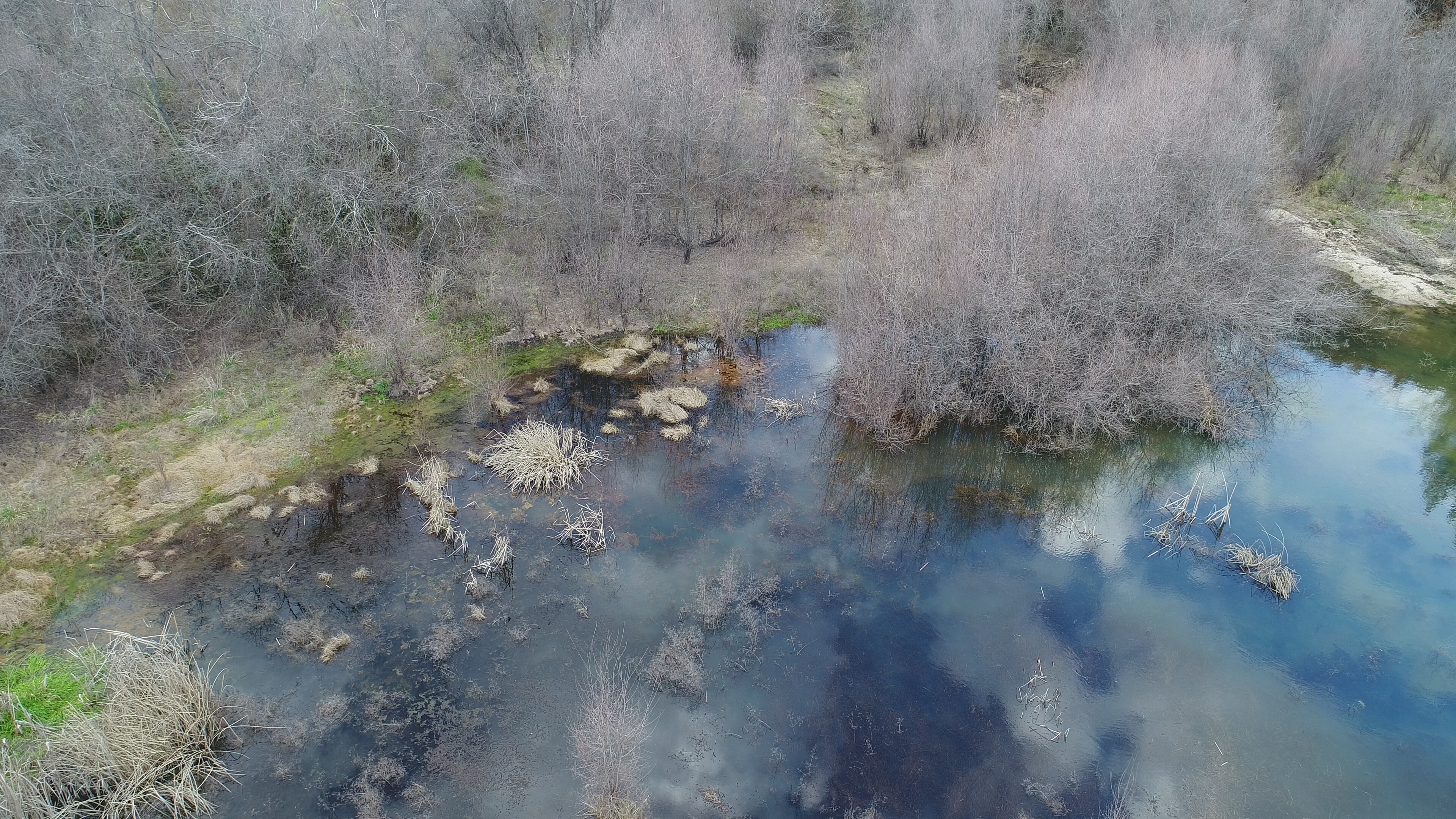
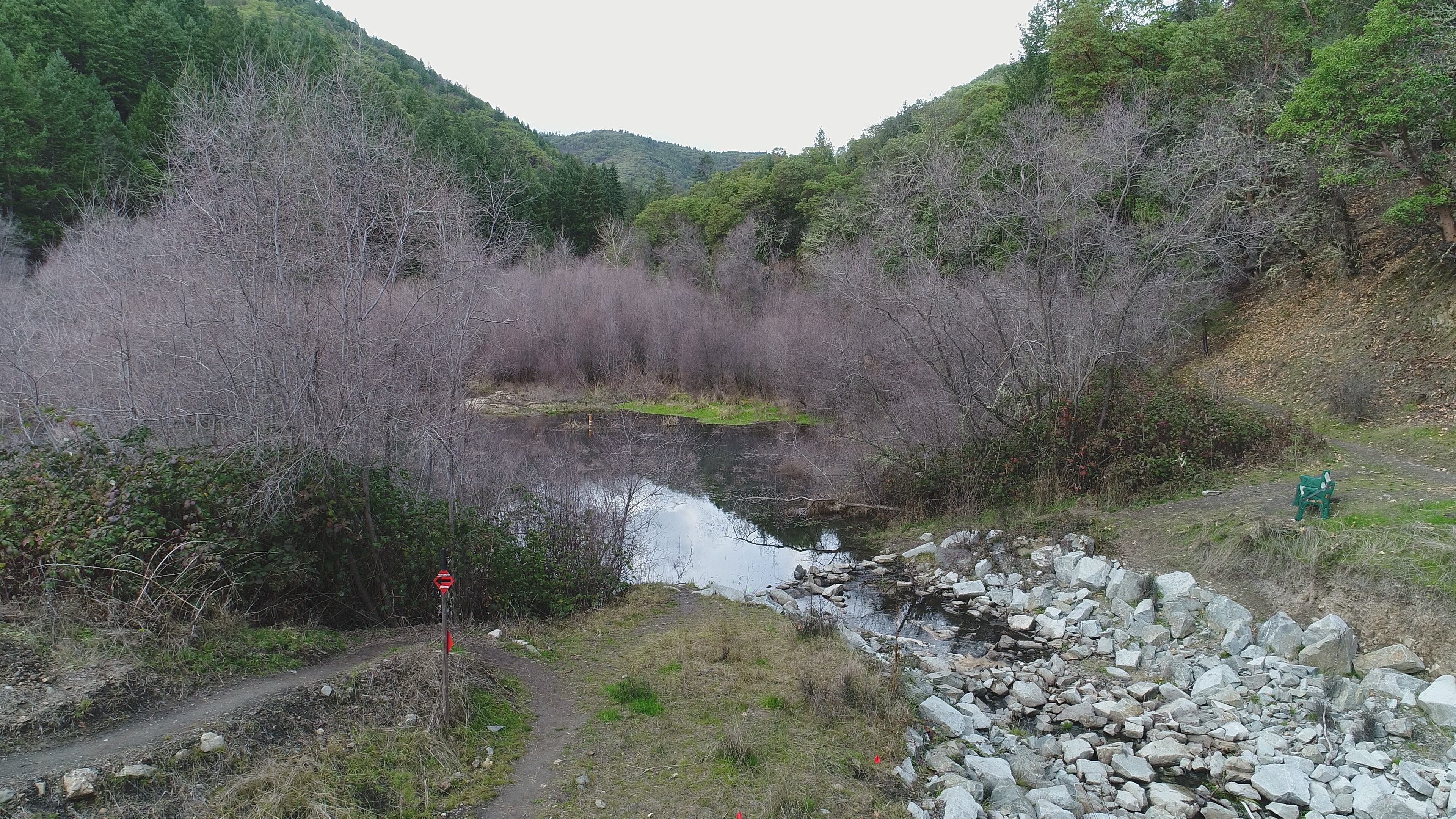
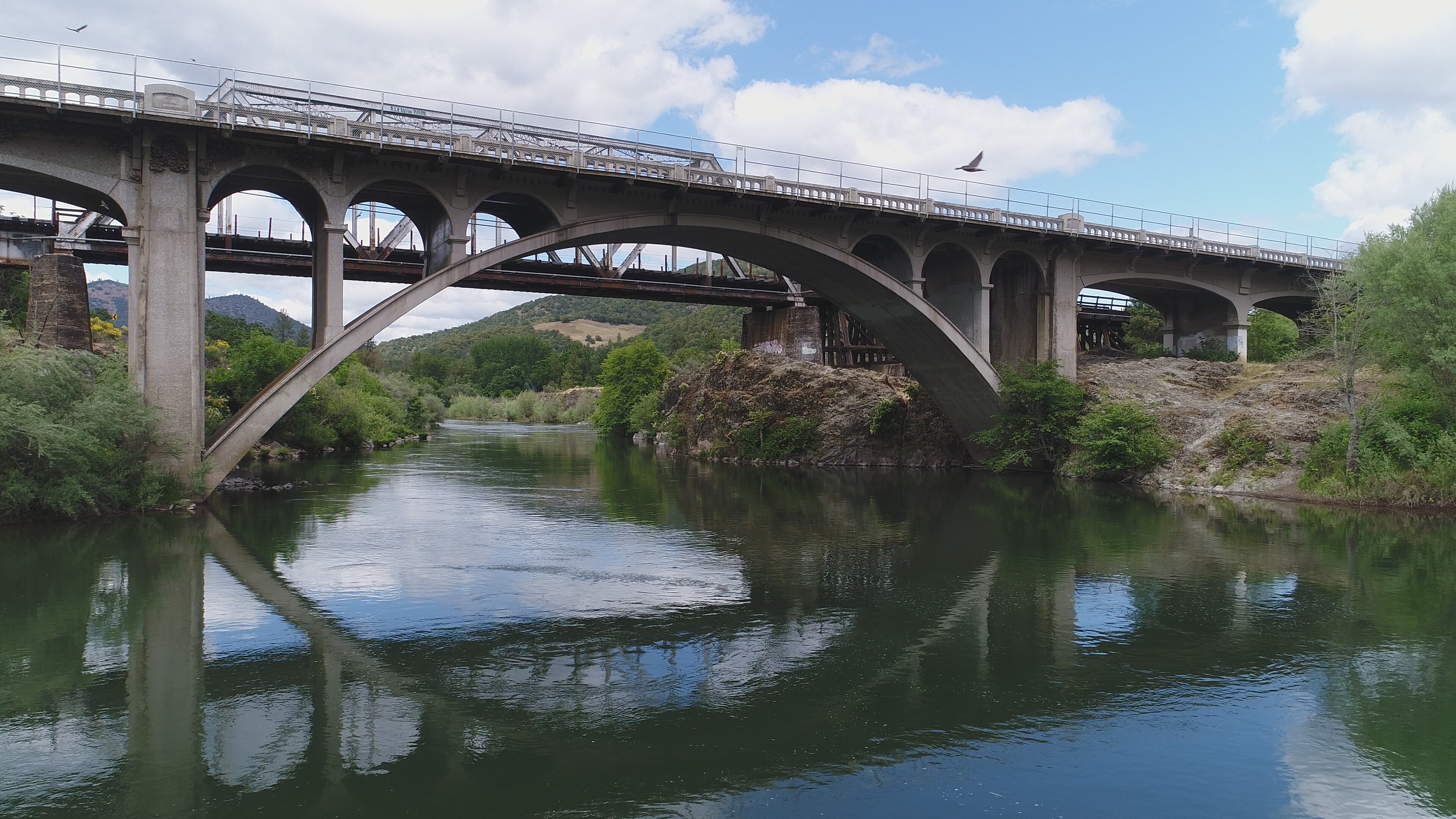
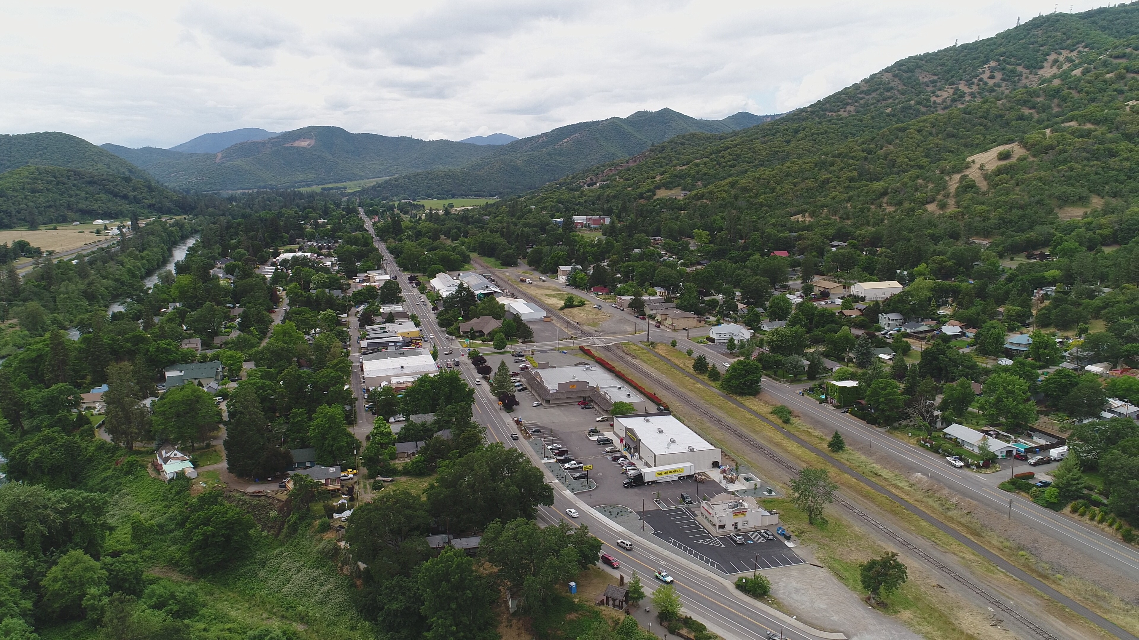
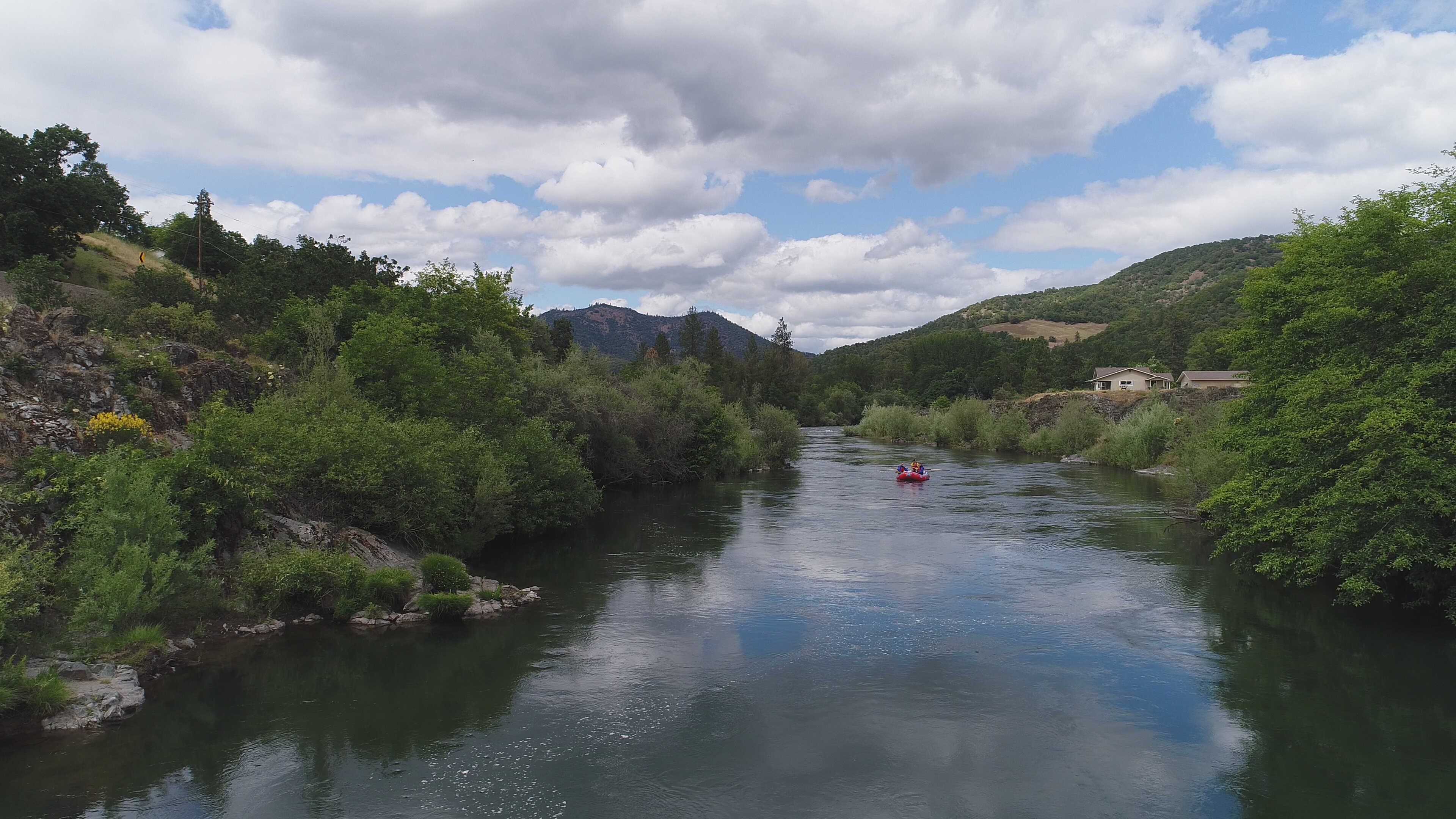
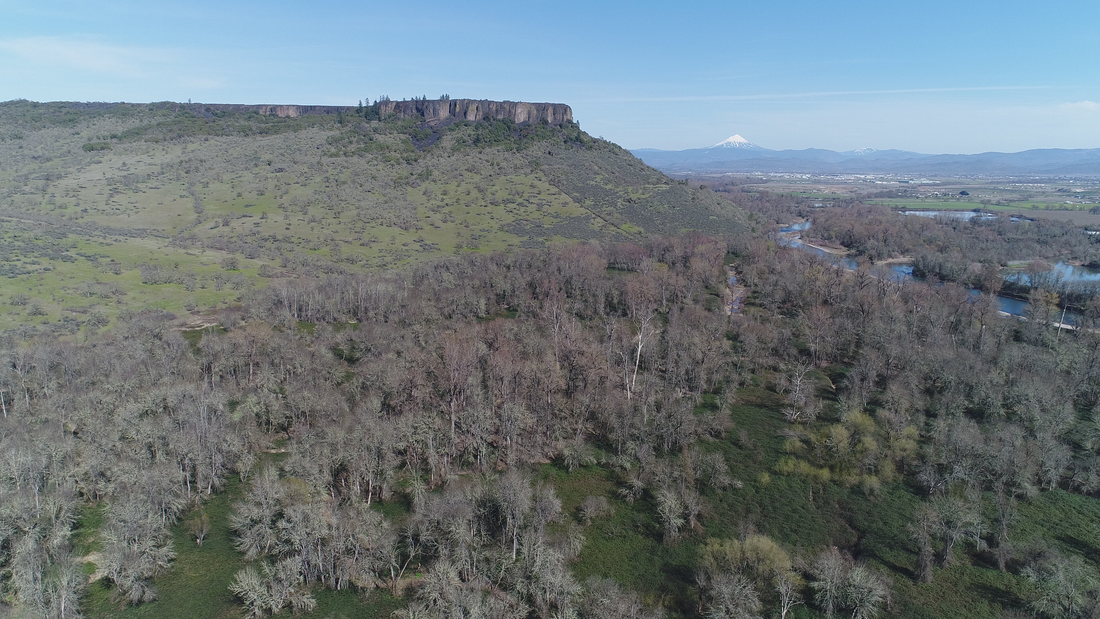
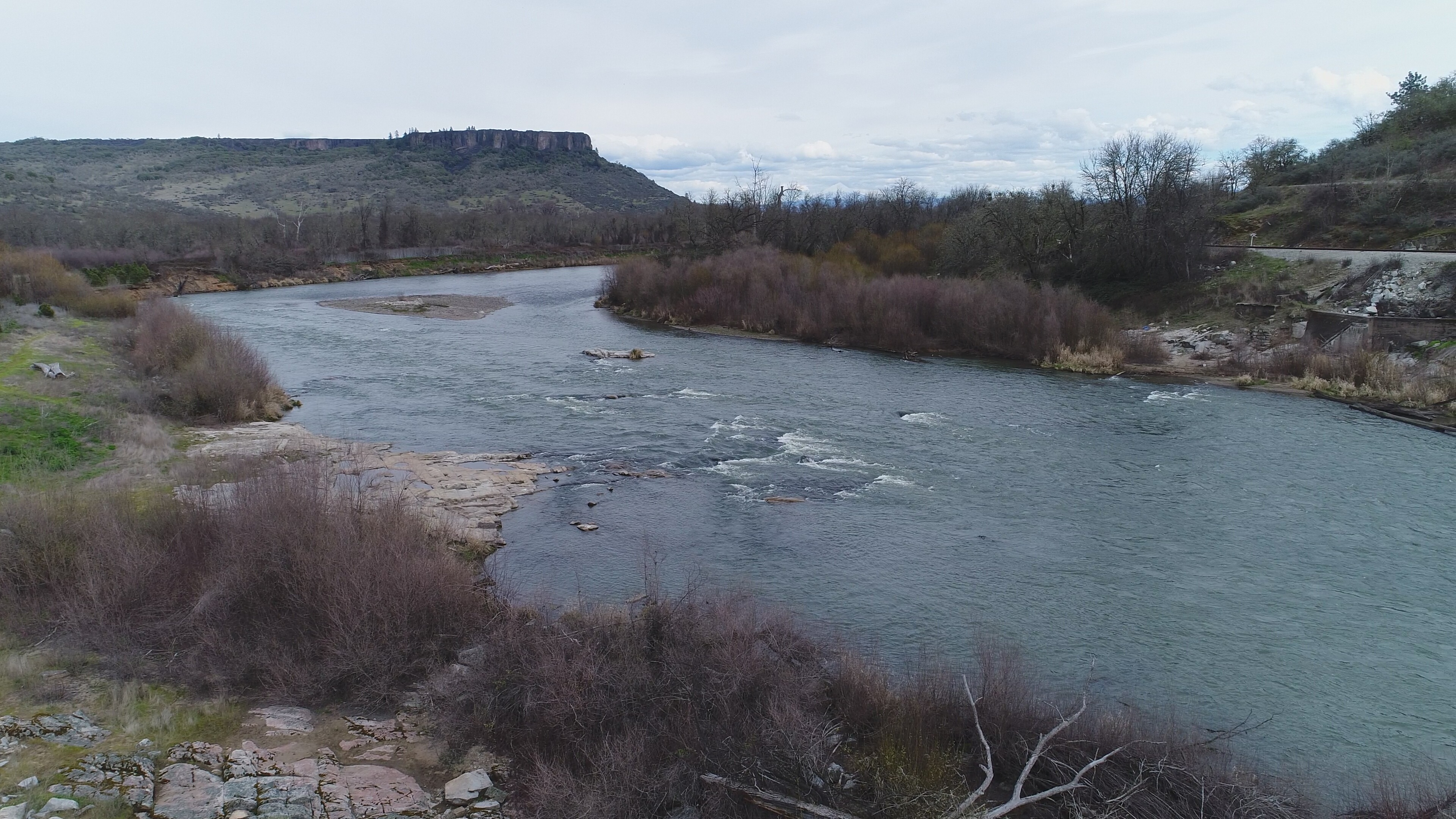
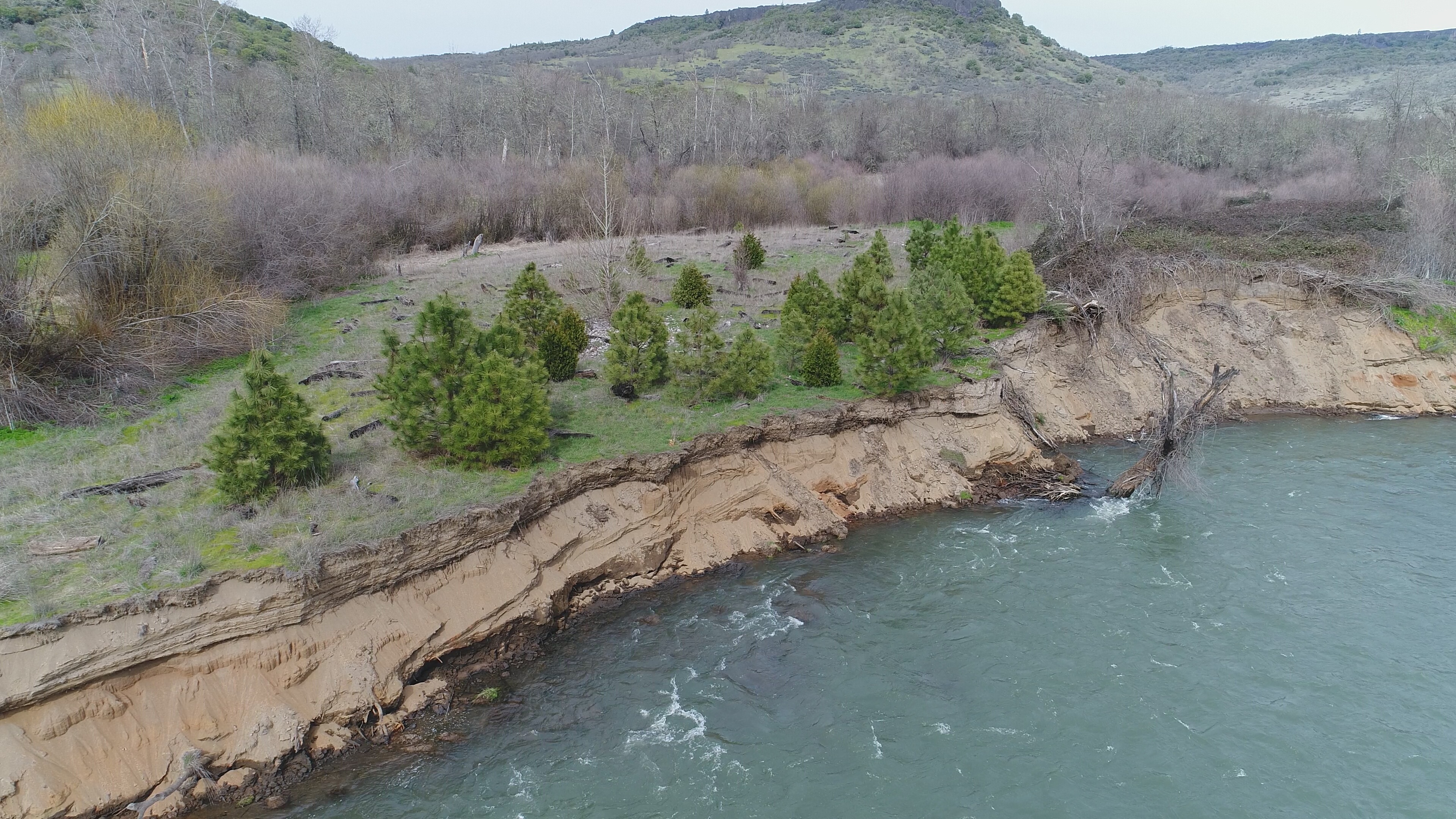
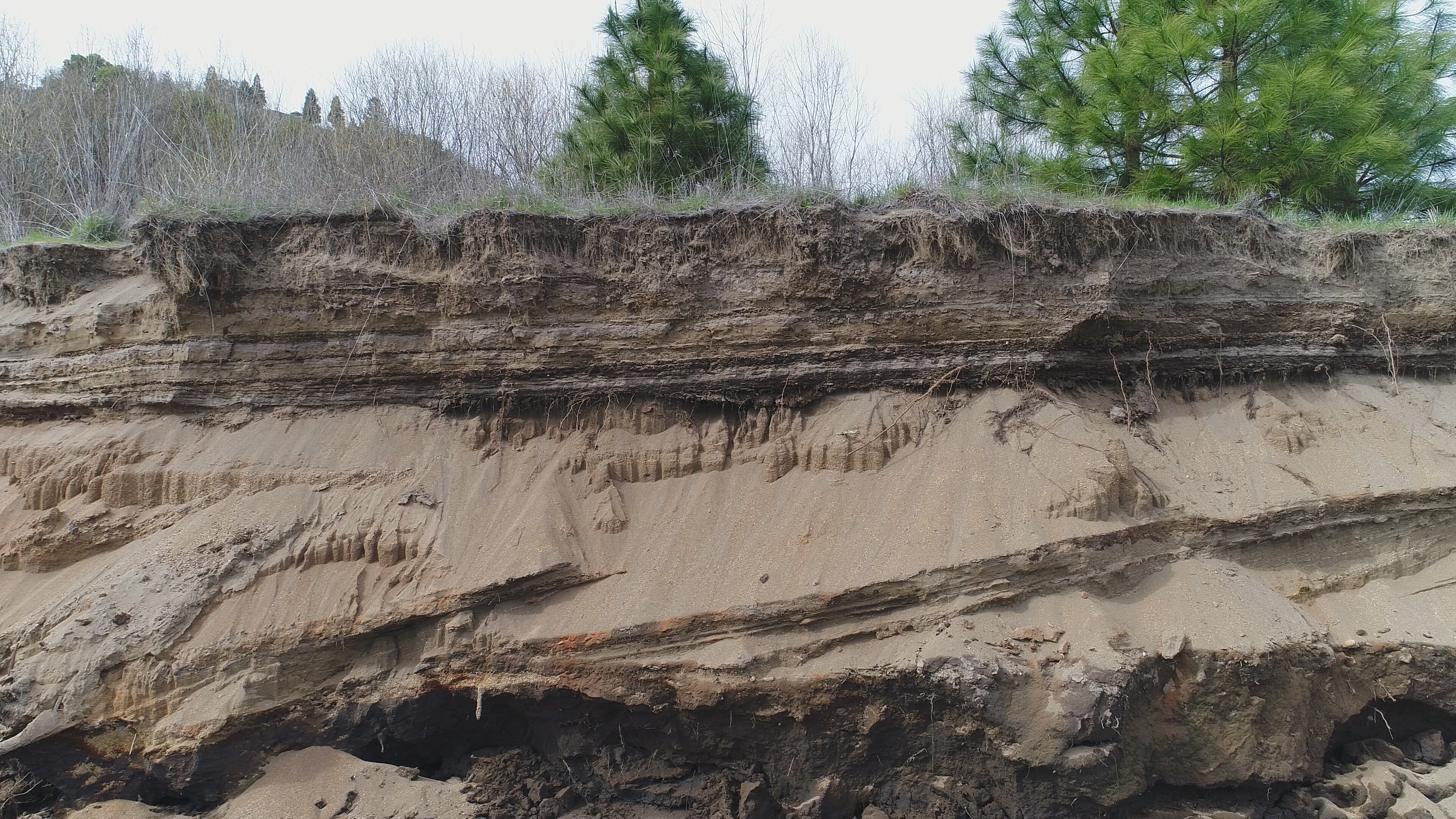
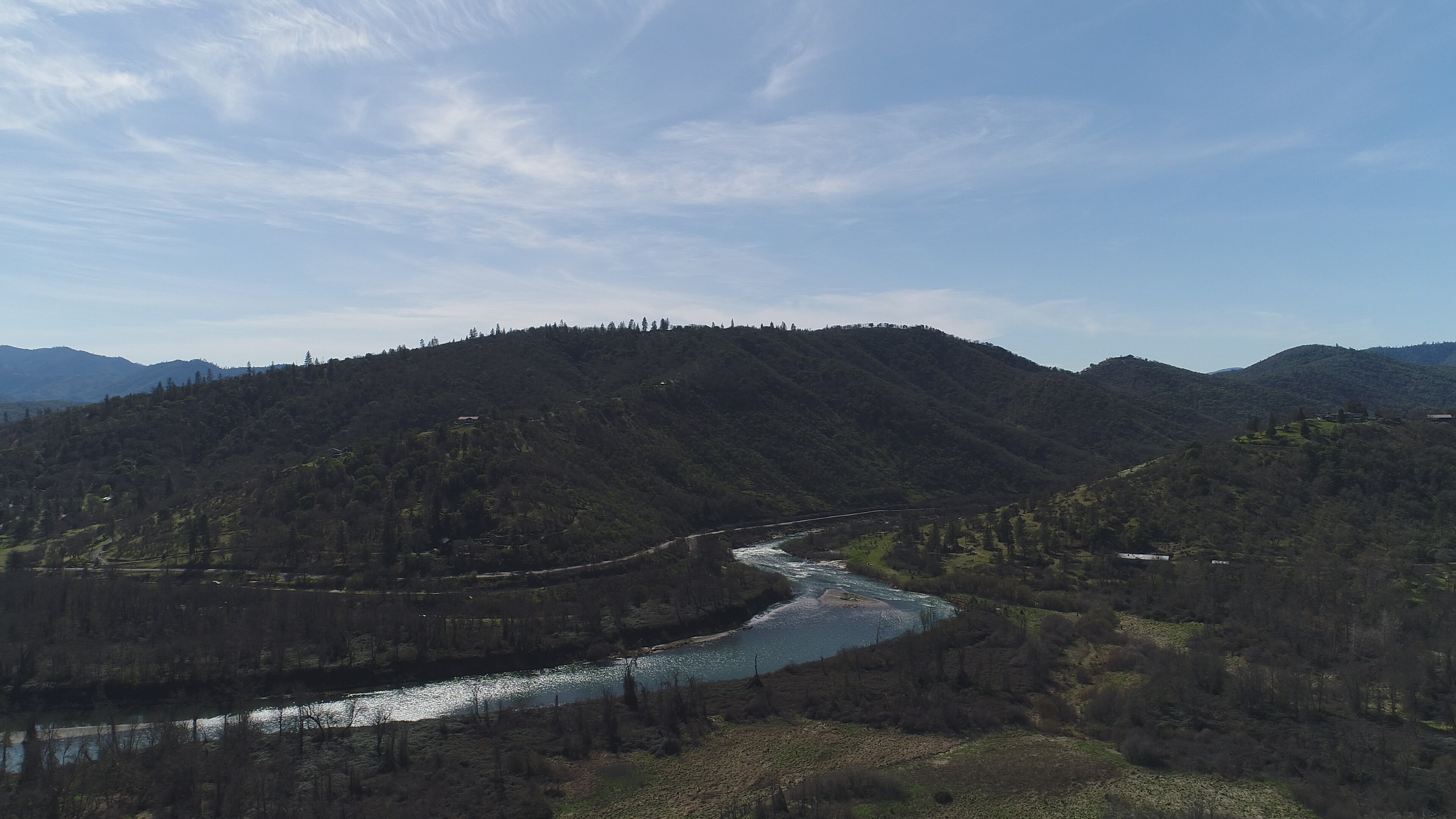
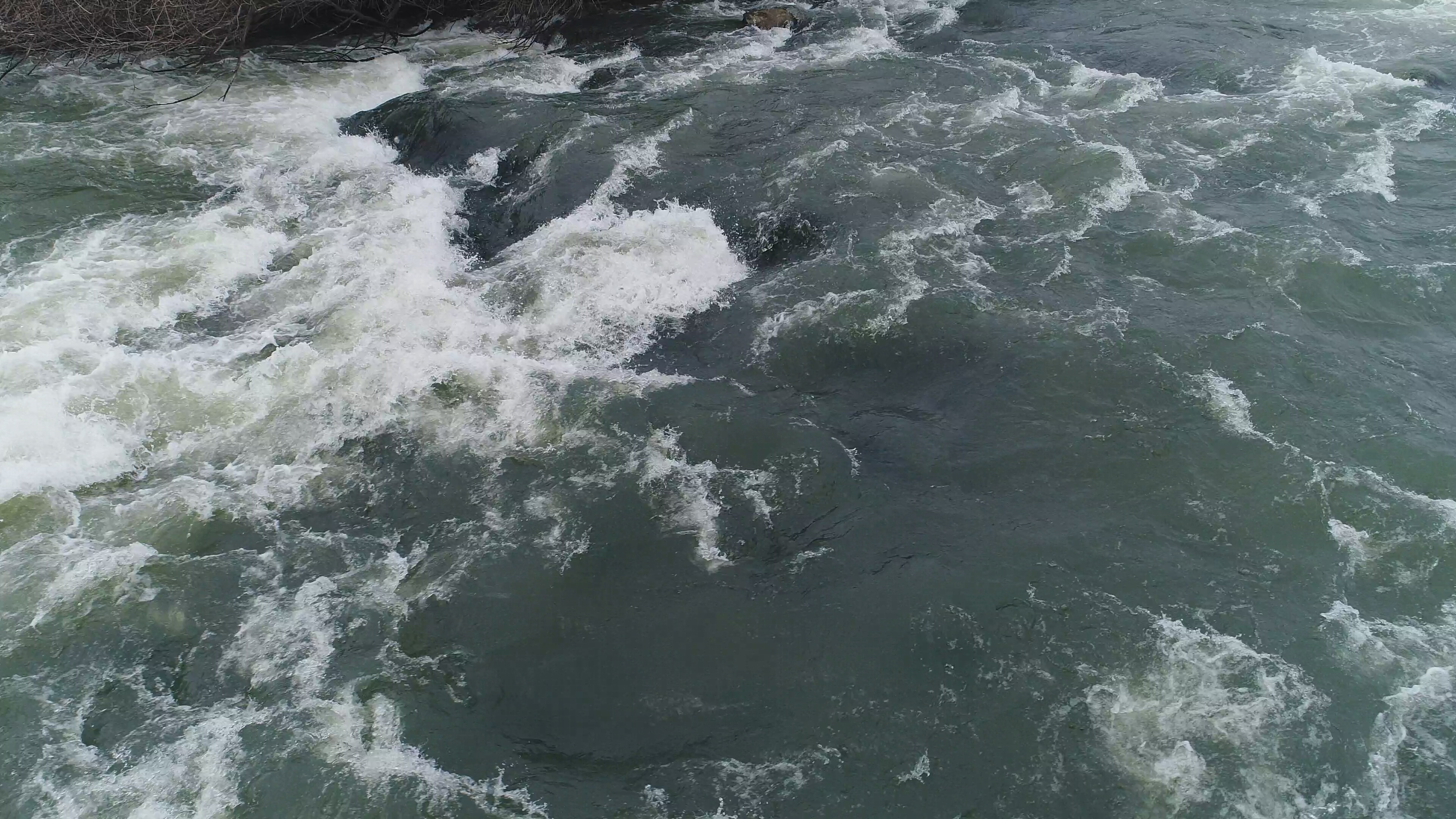
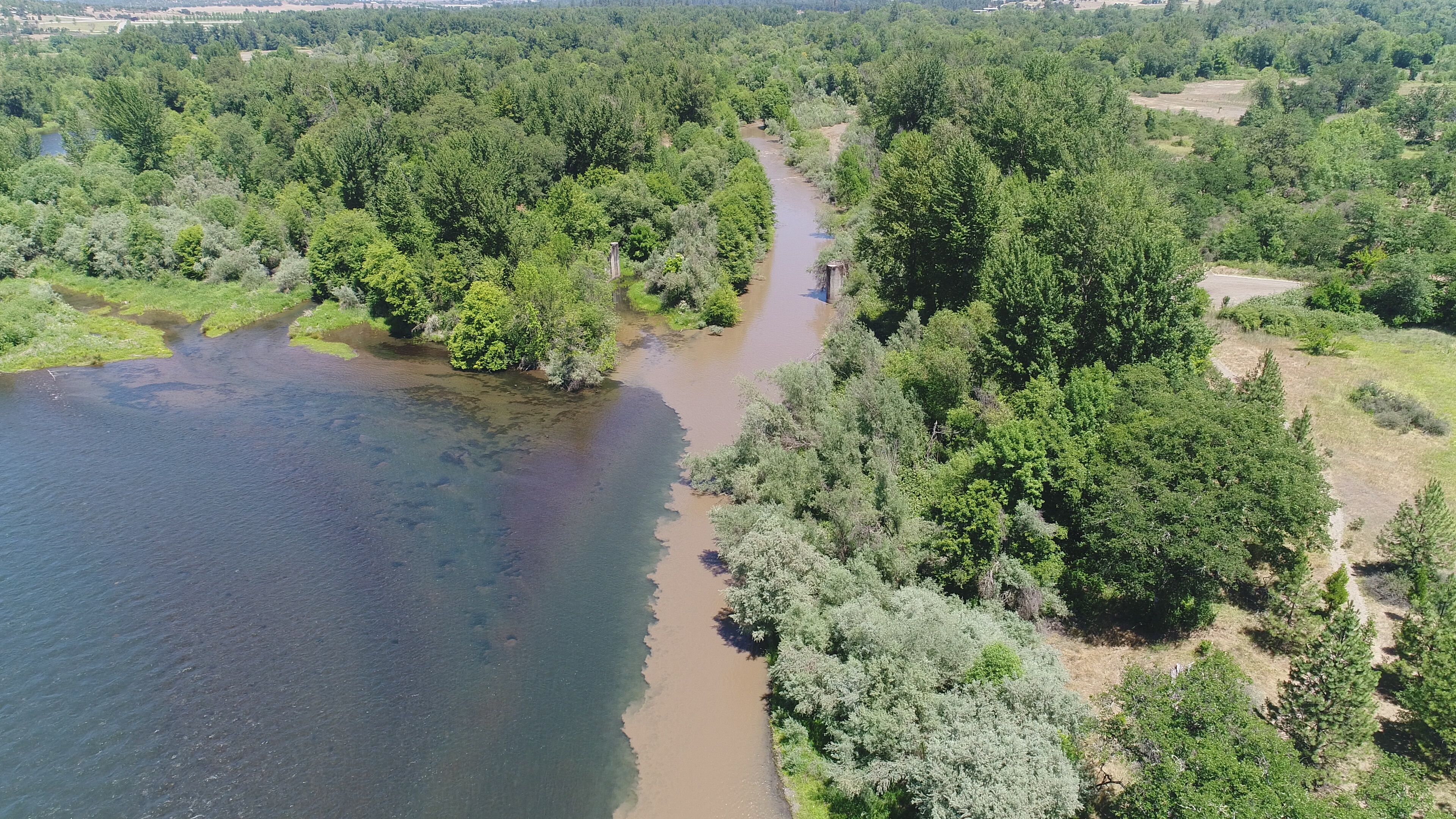
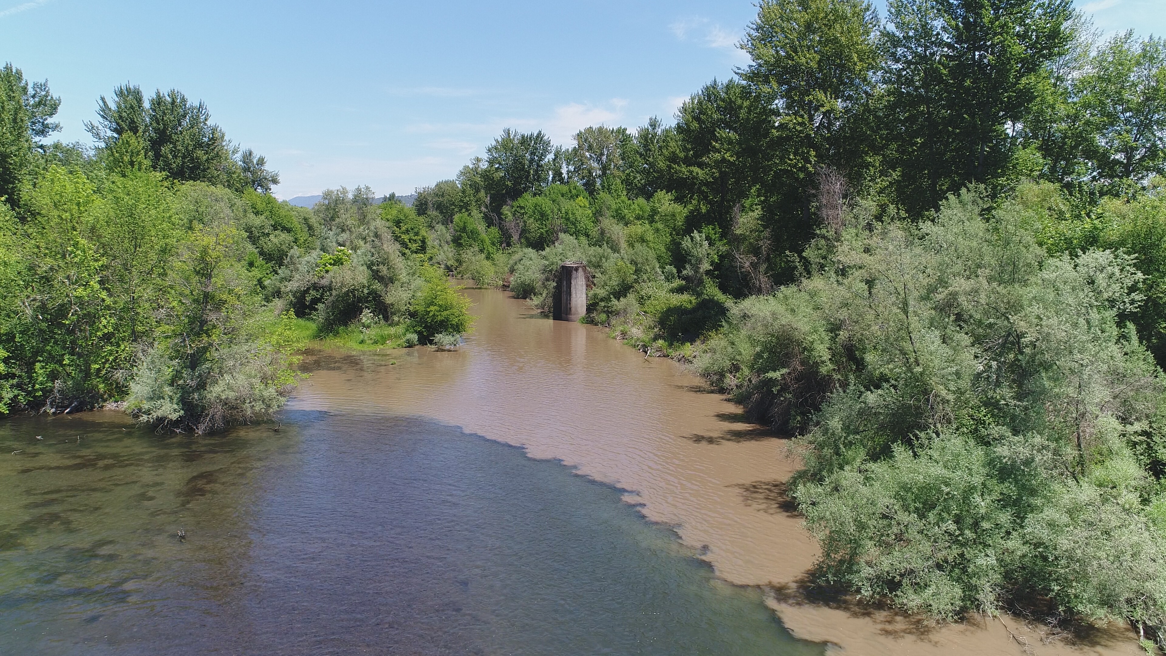
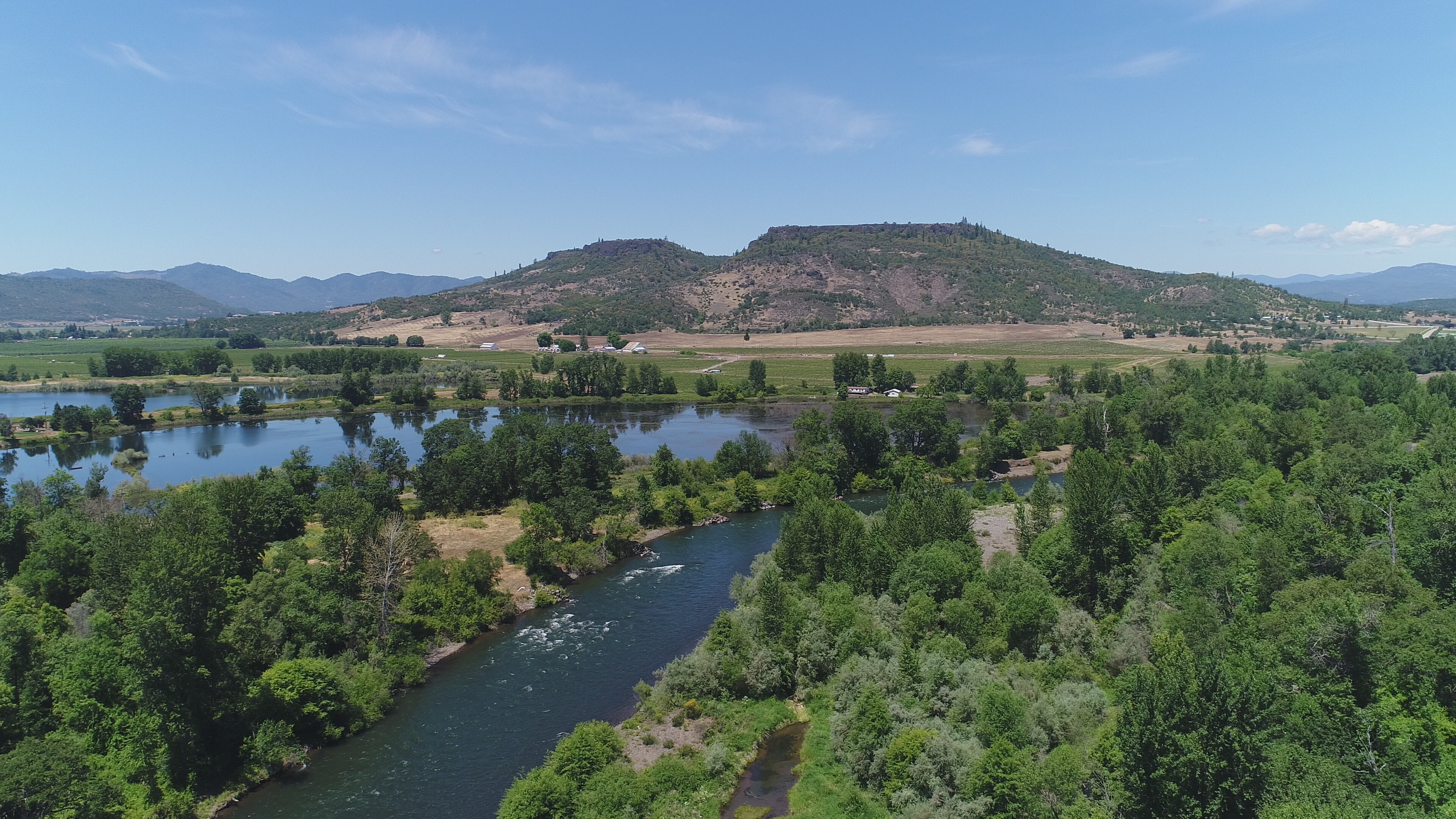
RVCOG continues to advance its drone services program. We recently purchased two additional drones to offer additional services including infrared imaging. Other services we offer in addition to photo and video include 3-D modeling, inspections, solar panel analysis, life cycle modeling (repeated flights tracking the progress of construction and restoration projects), overlaying potential and historic plans for sites with drone imagery in addition to video production and aerial photography.

High resolution cameras can take photos and videos for a wide application of uses. Possibilities include inspections, mapping transportation projects and pipelines, and documenting construction projects and riparian restoration projects over time.
Drones can be operated up to 400 feet above ground level following guidelines of the FAA’s 107 B rules.
RVCOG Equipment
- Phantom Pro 4+
- Matrice 210 V2
- Mavic 2 Enterprise Dual
Drone Services
- Photography and Video
- 3D Modeling of Structures, Buildings, and Other Features
- Life Cycle Monitoring – Construction Projects and Restoration
- Aerial Mapping
- Project Overlays with Existing Site Features and Plans for Development/Redevelopment and/or Historic Plans
- Project Inspection (Pre- and Post-Project Monitoring)
- GIS Mapping
- Emergency Services (Flooding, Fires, etc.)
- Pipeline Inspection
Drone Services Program Staff
Greg Stabach, Drone Pilot, Natural Resources Program Manager, (541) 423-1370
Ryan MacLaren, Pilot in Training, Senior Planner, (541) 423-1338
Nikki Hart-Brinkley, Pilot In Training/Data Specialist, GIS Specialist/Assistant Planner (541) 423-1378
Project Examples
- Restoration mapping along Bear Creek
- Documentation of events (clean-ups)
- 3-D modeling of historic building
- Videos of local communities, completed projects, and works in progress
Policies and Procedures Page
Information concerning data policies and procedures can be accessed on the Drone policies and Procedures page by clicking on the following link.
Drone Images
Drone Footage
Panoramas
Panoramic Image – Penniger Road Fire Area